Streamlining permits while protecting Oregon’s waterways
From iconic waterfalls to rushing rivers, Oregon’s waterways aren’t just emblematic of the state’s unique beauty, they’re also home to a range of threatened species and provide drinking water for millions of people.
While protecting these sensitive ecosystems is critical, overlapping and often complex environmental regulations can take substantial time and expertise to navigate. This poses challenges for developers; as a result, projects can often take years to get approved. Furthermore, Oregon recently made changes to its project permitting process, leaving many developers unsure how to proceed.
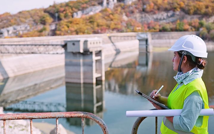
As an environmental planner specializing in water permitting—which applies to any development project that touches a stream or lake in Oregon—my team at ICF works to streamline this process, reducing the time between proposal and project completion while ensuring that nature is adequately protected.
The new rules
Two objectives of the regulation review process were to remove duplicative general authorizations—essentially permits that cover broad categories of projects with similar elements—that could cause confusion to applicants, and to incorporate more activities with minimal anticipated impacts or benefits into the remaining general authorizations, which should hopefully speed up reviews for smaller, less intensive project proposals.
These changes should make it easier for those projects to get through the permitting process and encourage more organizations to take on projects with positive conservation outcomes. For example, expanding general authorizations for restoration projects will likely help local watershed organizations and conservation groups (including past ICF clients) continue their work improving habitat for aquatic species—native fisheries, freshwater mussels, and more.
Under Oregon’s new rules, the regulatory agencies will create a central database of all geographic system information (GIS) layers. This should help expedite review timelines for projects that occur within similar spaces, as it will make it easier to find ecological information about the project site and avoid replicating unnecessary work. Ultimately this should give regulators a more comprehensive view of the wetland and water resources across the state.
Less paperwork, more action
At ICF, we help speed up this process in numerous ways. In the field, our scientists look for certain indicators (vegetation, soil, hydrology, etc.) to identify where wetlands and other aquatic resources are, and then document their boundaries to help developers avoid them when designing new projects. For example, after storms and wildfire damaged Lane County’s electric distribution system in 2019 and 2020, our team helped streamline the permitting process for Lane Electric Cooperative’s strategy to underground power lines in vulnerable areas—making them more resilient to future extreme weather in Oregon.
ICF also helps clients plan restoration efforts, prioritize projects, and collect data to inform future project decisions. For example, we helped Portland’s Bureau of Environmental Services achieve third-party certification of restoration and stormwater management actions, which allowed the city to become the first in the nation to be certified as “Salmon Safe.” The city is now prioritizing future restoration actions in multiple watersheds and planning stormwater management.
By consolidating available data and tracking legislative changes, we make it as easy as possible to navigate state regulatory developments—all while ensuring that projects are compliant and maintain, if not exceed, industry standards.
